
How to buy
Every deployment is different, and so is every plan. Talk to us and we'll find the right fit.
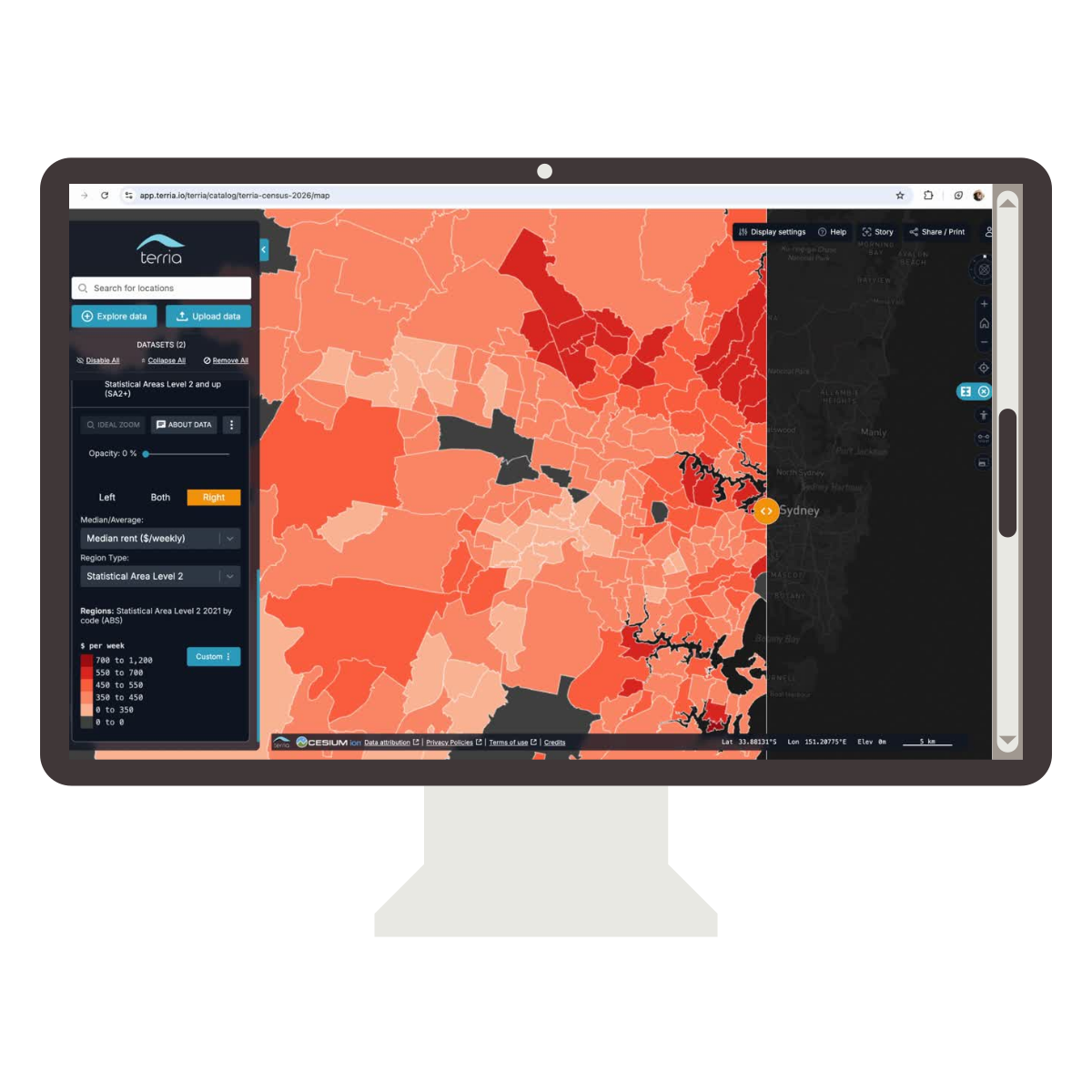
How buying Terria works
Terria is sold as a subscription plan that scales with how widely you roll it out.
Because most deployments connect to live data and systems - Esri, Cesium, CKAN etc - we run every purchase through a short guided process rather than a self-serve checkout.
It’s the fastest way to land on the right plan and confirm the right fit, and it’s how our current customers came on board too.

Discovery call (30 min) Tell us what you're trying to achieve - a project view, a public-facing digital twin, an internal data platform - and what systems you're working with today.
Guided product demo We map your data sources and use case to Terria and where possible, we’ll show you a working example on your own data.
Plan & pricing We’ll recommend the subscription plan and support tier that fit - based on the data sources and systems you’re connecting, and number of web maps or digital twins you’re rolling out, not how many users or seats you have.
Procurement support If you need to route this through IT security review, legal or finance sign-off, we can provide the documentation and answers those teams need.
Onboarding Once you’re subscribed, our team supports setup and your first data integration, so you’re live on the platform within one hour.

Easy to buy, however you procure
For government organisations, we work within your procurement process. For example, in Australia, we're listed on the BuyICT panel — view our BuyICT listing. Using such a framework means pre-negotiated terms, compliant procurement, and a faster route to implementation.
For commercial organisations, you have the flexibility to use our standard Terms & Conditions and your preferred payment method, such as monthly credit card or annual invoicing.

Why teams choose Terria
A platform, not a map visualiser
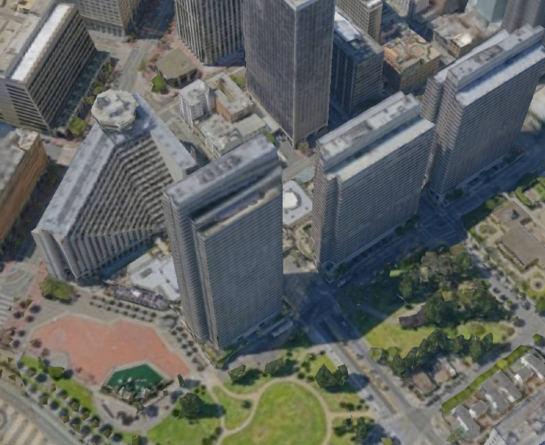
Terria is the platform your team uses to build, configure and administer digital twins. Bring in data, set up integrations, control access and share curated views.
Works seamlessly with your stack
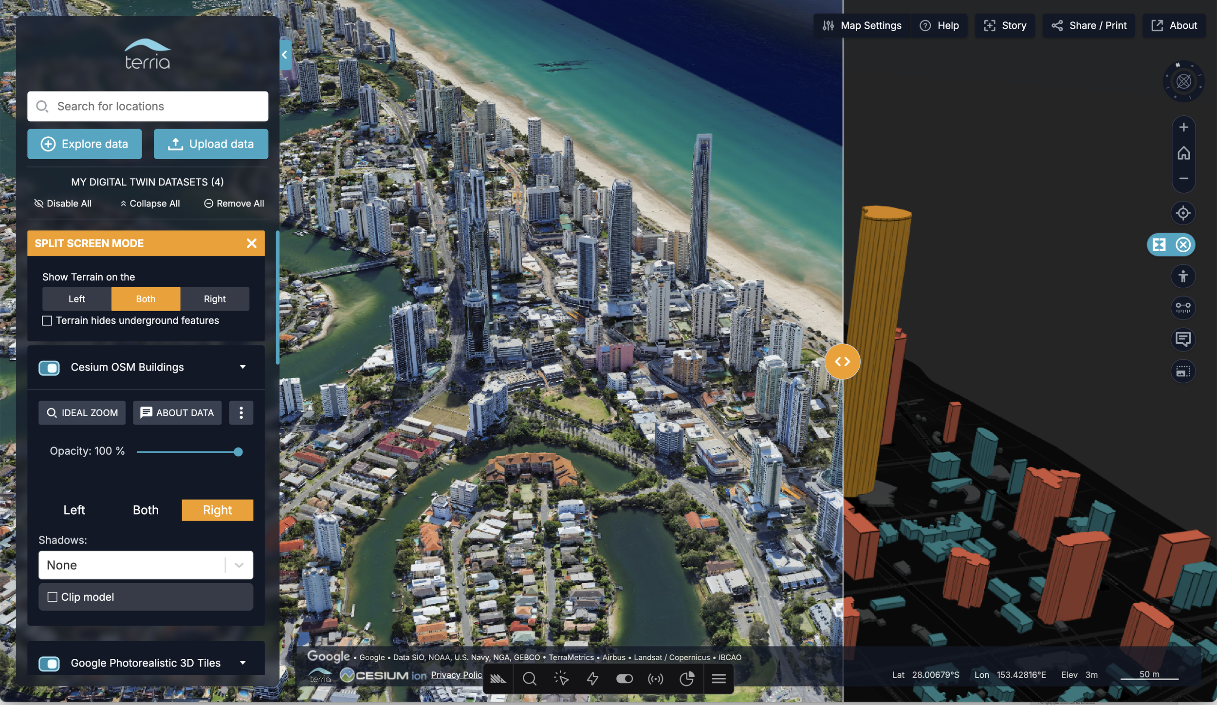
Terria connects your Esri, Cesium, Revit and databases and makes your existing spatial data usable by everyone. It complements what you already run.
Proudly built at CSIRO
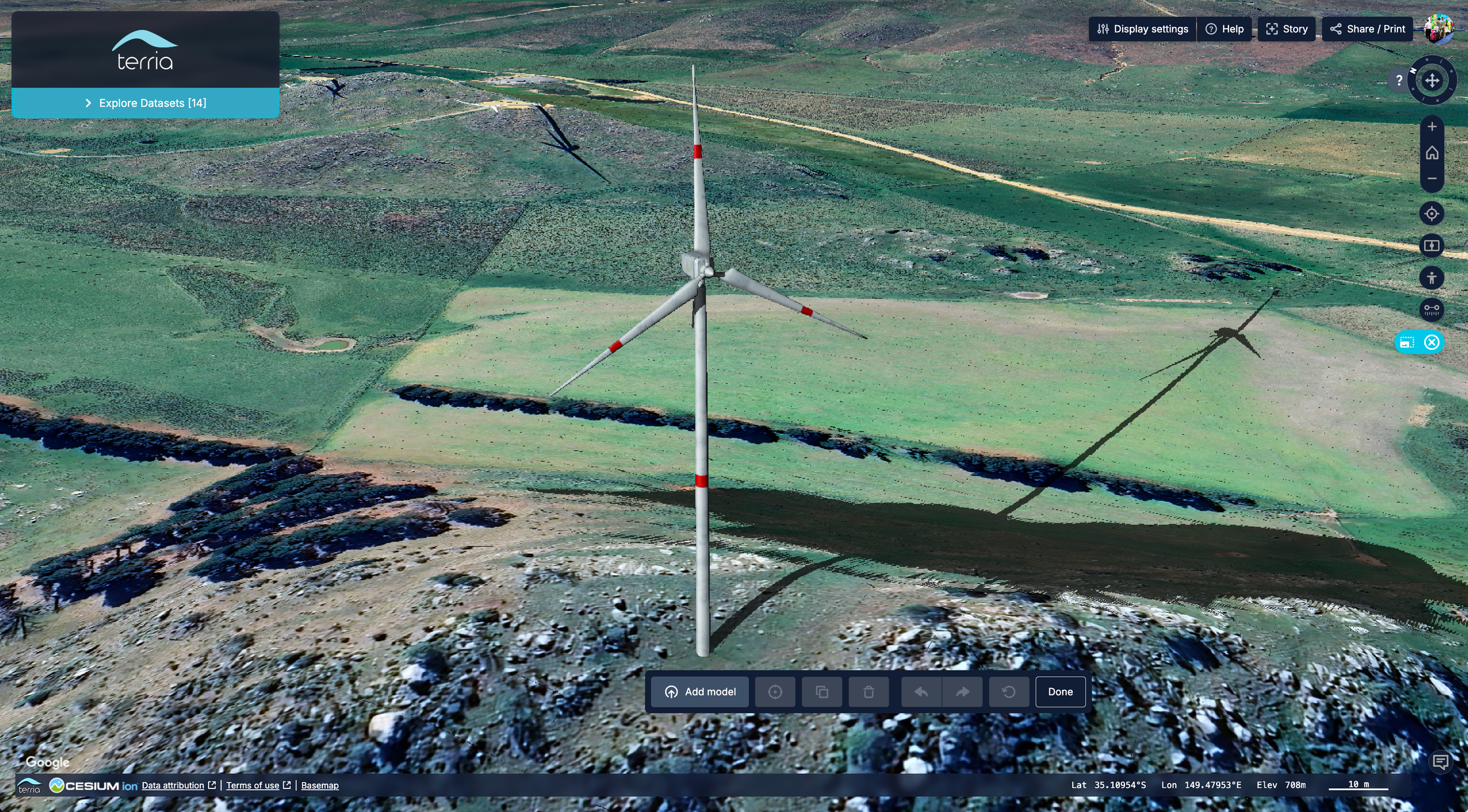
The open-source engine behind national maps in 22 countries, trusted by Australian federal and state governments.
“The ability to overlay scans, imagery, and system data into one accessible tool is game-changing.”
Cristobal Sierra, Digital Engineer, WT Australia
Not ready for a call yet?

How Tokyo unified sprawling urban information into a single, understandable view.
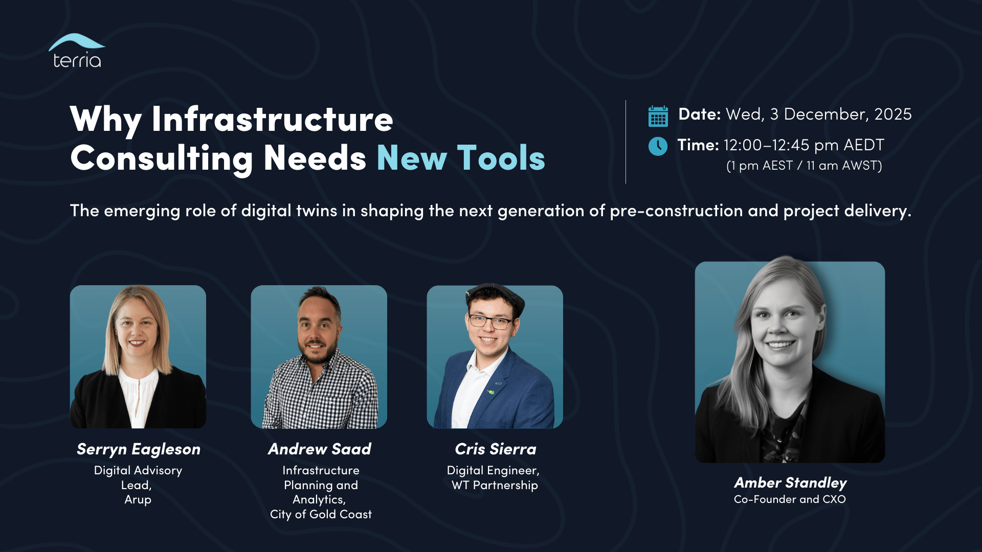
Webinar: Why infrastructure planning needs new tools
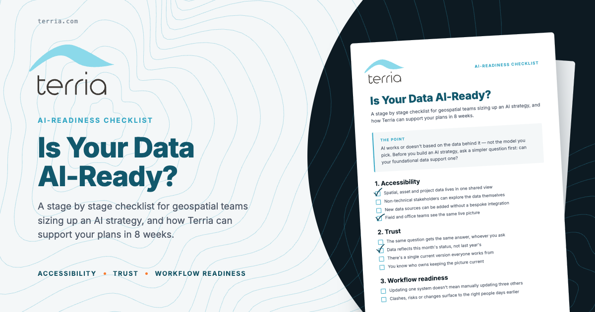
Learn how setting a strong data foundation readies your spatial data for AI
Common questions
-
Terria pricing is tiered based on the number of maps and digital twins you run, the data and systems you connect and the level of support you need. There are no per-seat fees, so inviting the whole team, clients and stakeholders never adds to the bill. You’ll get a quote in the guided process with your use case and systems mapped to a subscription plan.
-
Yes. Terria is available on a few subscription plans that scale with your deployment - the number of maps and digital twins, the data and systems you connect to. Because pricing isn’t per seat, your plan grows with roll-out (number of maps) not headcount, so you don’t find yourself jumping between packages or paying more just because your team expanded.
-
No. In fact, Terria enhances your existing Esri, CAD and database investments rather than replacing them. It federates data from your current systems into one shared, accessible view. There’s no data migration and no change to your existing workflows.
-
Yes. Terria supports multiple separate digital twins, each with independent access controls and unlimited team members, and can be delivered under your own brand with grey-label or white-label configurations so you can build once and deliver to several clients.
Have more questions before you talk to us? Try the full FAQ →